
Climate Intelligence · B2B SaaS · Geospatial Data
Turning complex climate, geographic, and real-asset data into clear decision-making tools for investors and infrastructure stakeholders.

Overview
AlphaGeo is a location analytics platform designed to help real estate and infrastructure investors use data-driven insights to make informed decisions about climate risk and adaptation.
The complexity is in the data. Climate models, geospatial layers, and real-asset information arrive dense, technical, and multi-dimensional — and have to become something a non-specialist investor can read and act on.
System & Problem
AlphaGeo layers climate projections, geographic data, and asset-level information onto specific locations — scoring how exposed a place is to climate risk over time, and how much local adaptation offsets it.
Behind a single risk number sits a stack of models and datasets. The challenge was making that depth legible and trustworthy to investors and infrastructure stakeholders who need a clear decision, not a science lesson.
Product Translation
I designed the full AlphaGeo platform — flows, maps, and data visualization that let an investor navigate climate risk without wading through raw datasets. The flagship Climate Resilience Suite leads with the decision: portfolio on a map, risk and resilience scored per hazard, financial impact quantified below.
The Climate Resilience Suite I designed — scenario controls, hazard-by-hazard risk indices, and financial impact analytics in one flow. The platform is enterprise-gated, so this is a direct capture of the shipped product.
Depth doesn’t stop at a single score. The Global Adaptation Layer breaks every hazard into its adaptation features — building strength, water storage, flood protections — scored from local district to national level.
Global Adaptation Layer — raw spatial data becomes multi-hazard adaptation scores, so “how protected is this place” gets an answer as precise as “how exposed.”
And because investors ask where as often as what, Dynamism Signals maps market intelligence county by county — growth, risk, and opportunity readable in one view.
Dynamism Signals — US market signals on a county-level choropleth, with rankings and underlying drivers a click away.
Website & Marketing Design
The public website is the first read investors get on the platform — it has to compress a deep technical stack into a single promise: see where risk is rising, and where opportunity is emerging.
The AlphaGeo website — location intelligence pitched to an investor audience, trusted by Oaktree, Zurich, Lennar, and MARA.
Visit the AlphaGeo websiteVisual & Brand System
The visual identity, website, and product UI share one professional system — giving a climate-intelligence platform the clarity and authority its investor audience expects. I authored the brand guidelines that hold it together: logo system, color, typography, and how the mark lives on imagery.
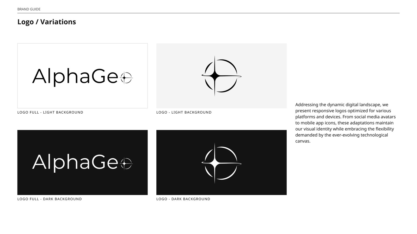
The AlphaGeo brand guidelines I authored — logo system, color, typography, and how the mark lives on imagery: one document that keeps every touchpoint speaking the same language.
To keep that language alive beyond my own hands, I built AlphaGeo Studio — an AI tool where marketing and BD compose on-brand social visuals from templates, without needing a designer in the loop.
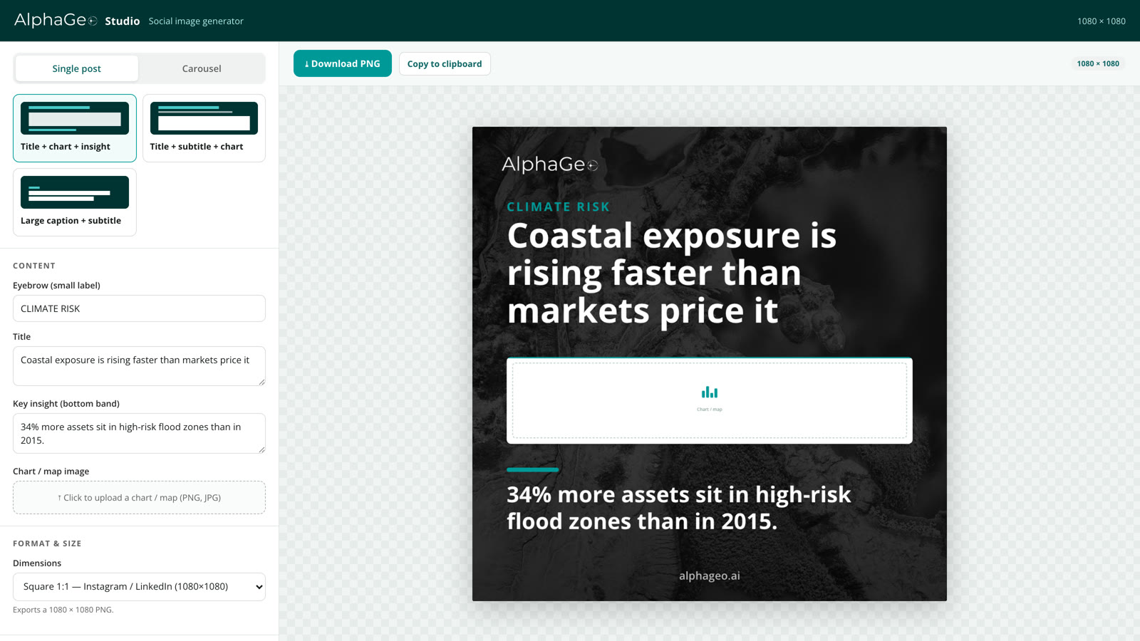
AlphaGeo Studio — the brand system as a tool — pick a template, drop in a headline and a chart, and export a social-ready visual that’s on brand by default.
Open AlphaGeo Studio